Landsat-7 ETM+ Satellite Imagery, 2011
The Landsat Series is a joint USGS and NASA-led enterprise for Earth observation that represents the world's longest running system of satellites for moderate-resolution optical remote sensing for land, coastal areas, and shallow waters. Landsat 7 was launched from Vandenberg Air Force Base in California on April 15, 1999, on a Delta II rocket. The satellite carries the Enhanced Thematic Mapper Plus (ETM+) sensor. This instrument was improved from previous instrumentation designs. The primary features on Landsat 7 include a panchromatic band with 15 meter spatial resolution, an onboard full aperture solar calibrator, five percent absolute radiometric calibration, and a thermal infrared channel with a four-fold improvement in spatial resolution over Thematic Mapper (TM).
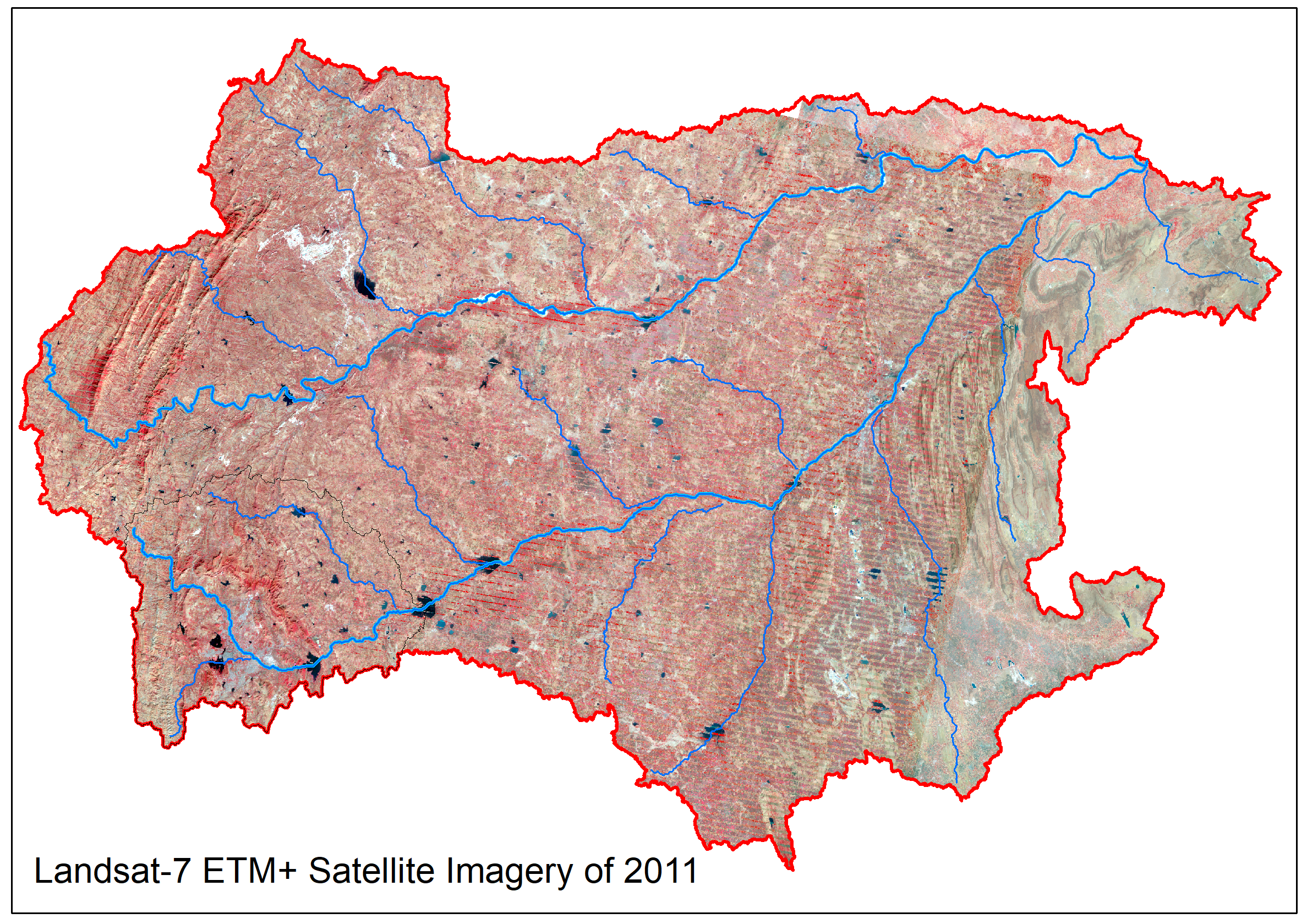
The ETM+ contains eight spectral bands, including a pan and thermal band:
• Band 1 Blue (0.45 - 0.52 µm) 30 m
• Band 2 Green (0.52 - 0.60 µm) 30 m
• Band 3 Red (0.63 - 0.69 µm) 30 m
• Band 4 Near-Infrared (0.77 - 0.90 µm) 30 m
• Band 5 Short-wave Infrared (1.55 - 1.75 µm) 30 m
• Band 6 Thermal (10.40 - 12.50 µm) 60 m Low Gain / High Gain
• Band 7 Mid-Infrared (2.08 - 2.35 µm) 30 m
• Band 8 Panchromatic (PAN) (0.52 - 0.90 µm) 15 m
Dataset
(1) Land use land Cover 2011Source: U.S. Geological Survey (USGS), EarthExplorer. https://earthexplorer.usgs.gov/
Related images
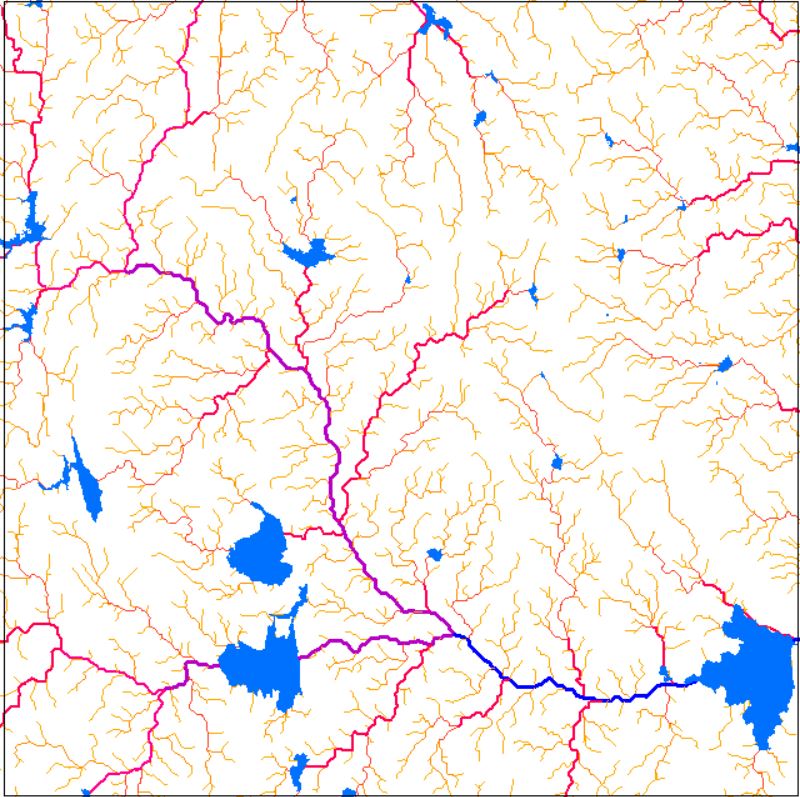
Drainage Network
View more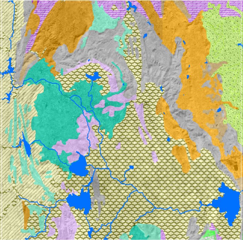
Geology and Lithology
View more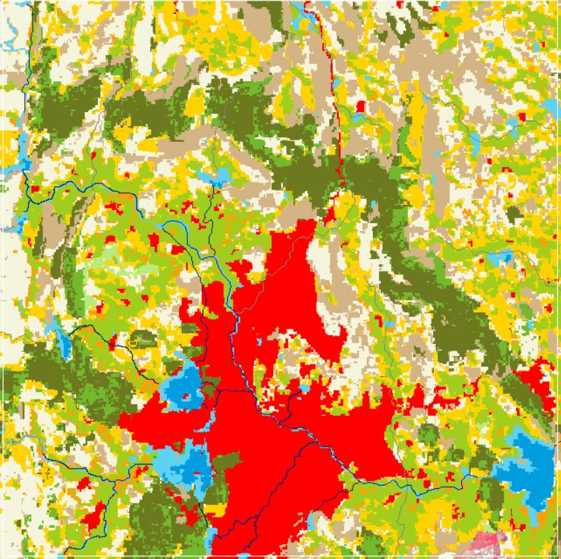
Land Use and Land Cover
View more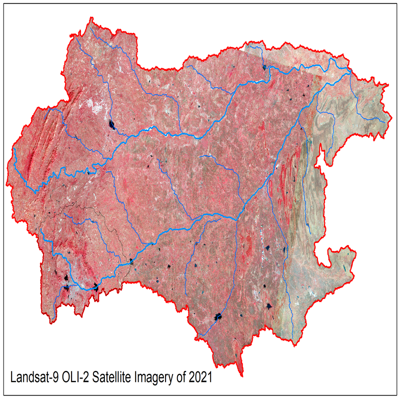
Landsat Satellite Imagery 2021
View more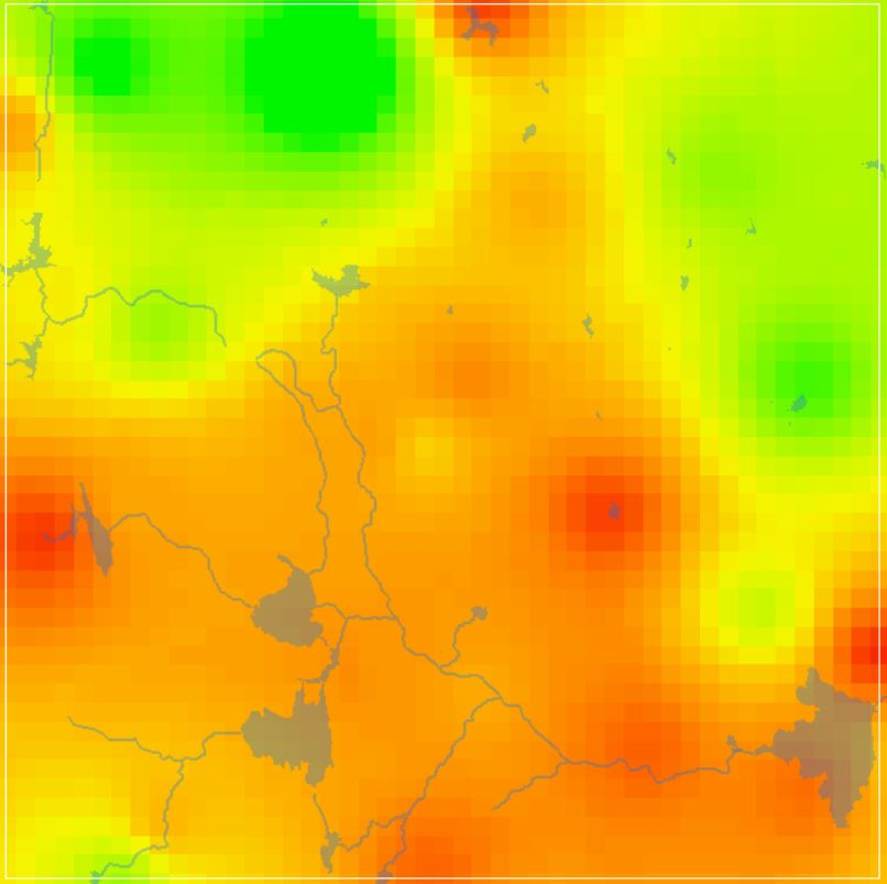
Groundwater Level Data
View more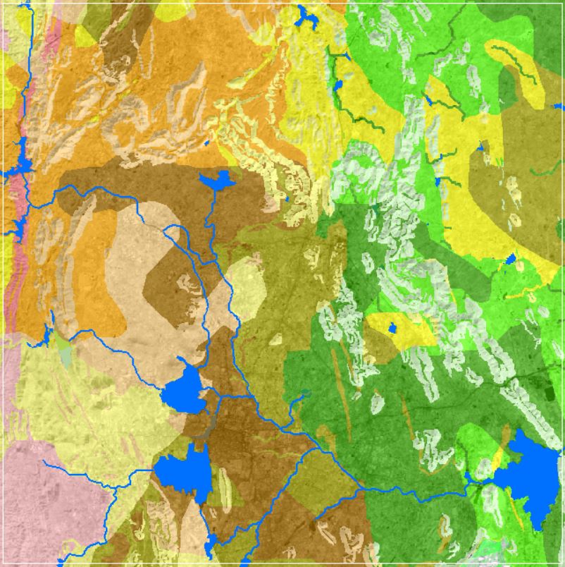
Soil Texture Data
View more
Geophysical Data
View more